Warning: Use of undefined constant name - assumed 'name' (this will throw an Error in a future version of PHP) in /home/viewfr7/public_html/wp-content/plugins/osm/osm_map/osm-oljs2.php on line 751
Warning: Use of undefined constant width - assumed 'width' (this will throw an Error in a future version of PHP) in /home/viewfr7/public_html/wp-content/plugins/osm/osm_map/osm-oljs2.php on line 751
Warning: Use of undefined constant height - assumed 'height' (this will throw an Error in a future version of PHP) in /home/viewfr7/public_html/wp-content/plugins/osm/osm_map/osm-oljs2.php on line 751
Warning: Use of undefined constant offset_width - assumed 'offset_width' (this will throw an Error in a future version of PHP) in /home/viewfr7/public_html/wp-content/plugins/osm/osm_map/osm-oljs2.php on line 751
Warning: Use of undefined constant offset_height - assumed 'offset_height' (this will throw an Error in a future version of PHP) in /home/viewfr7/public_html/wp-content/plugins/osm/osm_map/osm-oljs2.php on line 751
Warning: Use of undefined constant Marker - assumed 'Marker' (this will throw an Error in a future version of PHP) in /home/viewfr7/public_html/wp-content/plugins/osm/osm_map/osm-oljs2.php on line 782
Warning: Use of undefined constant name - assumed 'name' (this will throw an Error in a future version of PHP) in /home/viewfr7/public_html/wp-content/plugins/osm/osm_map/osm-oljs2.php on line 794
Warning: Use of undefined constant width - assumed 'width' (this will throw an Error in a future version of PHP) in /home/viewfr7/public_html/wp-content/plugins/osm/osm_map/osm-oljs2.php on line 798
Warning: Use of undefined constant height - assumed 'height' (this will throw an Error in a future version of PHP) in /home/viewfr7/public_html/wp-content/plugins/osm/osm_map/osm-oljs2.php on line 798
Warning: Use of undefined constant offset_width - assumed 'offset_width' (this will throw an Error in a future version of PHP) in /home/viewfr7/public_html/wp-content/plugins/osm/osm_map/osm-oljs2.php on line 799
Warning: Use of undefined constant offset_height - assumed 'offset_height' (this will throw an Error in a future version of PHP) in /home/viewfr7/public_html/wp-content/plugins/osm/osm_map/osm-oljs2.php on line 799
Warning: Use of undefined constant text - assumed 'text' (this will throw an Error in a future version of PHP) in /home/viewfr7/public_html/wp-content/plugins/osm/osm_map/osm-oljs2.php on line 807
Warning: Use of undefined constant lon - assumed 'lon' (this will throw an Error in a future version of PHP) in /home/viewfr7/public_html/wp-content/plugins/osm/osm_map/osm-oljs2.php on line 809
Warning: Use of undefined constant lat - assumed 'lat' (this will throw an Error in a future version of PHP) in /home/viewfr7/public_html/wp-content/plugins/osm/osm_map/osm-oljs2.php on line 809
Warning: Use of undefined constant popup_width - assumed 'popup_width' (this will throw an Error in a future version of PHP) in /home/viewfr7/public_html/wp-content/plugins/osm/osm_map/osm-oljs2.php on line 813
Warning: Use of undefined constant popup_height - assumed 'popup_height' (this will throw an Error in a future version of PHP) in /home/viewfr7/public_html/wp-content/plugins/osm/osm_map/osm-oljs2.php on line 813
Before You Go:
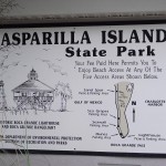
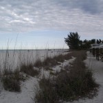
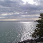
If you are doing this ride in the early morning hours (before, say, 11AM), then you can probably get by without sunscreen. As the sun clears the trees on the east side of the trail, you will need sunscreen since there are very few trees lining the western side of the trail. Also, if you stop for any time along the beaches in Gasparilla Island State Park, you will definitely be in need of sunscreen and a pair of sunglasses (the white, sugar sands are blinding).
Getting There:
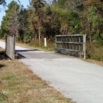
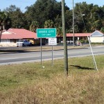
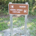
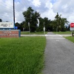
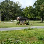
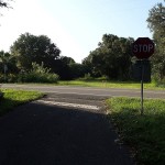
I took exit 193 off Interstate 75 and headed south and west on Jacaranda Boulevard. Jacaranda Boulevard dead-ends at Englewood Road (County Road 776). Take Englewood Road southeasterly. It will become first North Indiana and then South Indiana before finally becoming S. McCall Road. Head south on Placida Road and finally turn onto Boca Grande Causeway. There is a toll and they do not accept Credit, Debit Cards or SunPass. I am not aware of any designated trailhead parking. I simply parked at the first Shopping Center I encountered at the northern end of the trail.
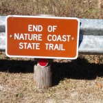
Trail Length
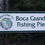
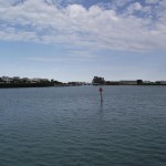
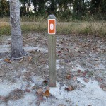
13.6 Miles – From the shopping center just south of Boca Grande Resort to the Port Boca Grande Light and back. The mileage also includes a ride out to the nearby Boca Grande Fishing Pier.
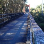
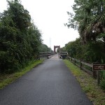
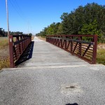
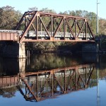
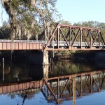
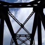
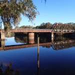
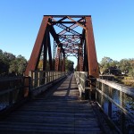
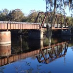
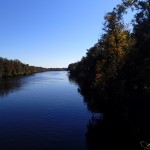
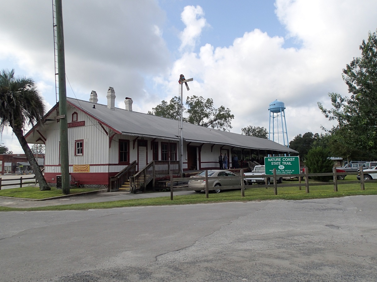
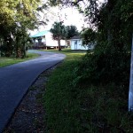
The Trail
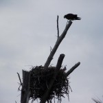
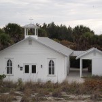
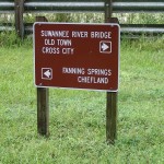
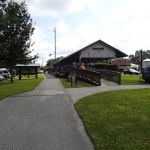
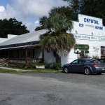
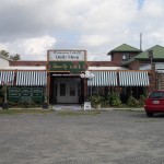
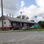
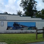
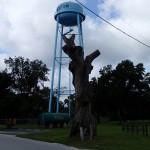
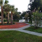
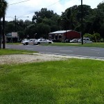
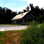
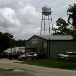
For more information on the trail itself or the community of Boca Grande, check out the links and gallery pictures below.
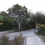
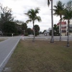
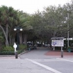
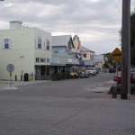
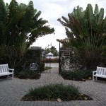
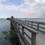
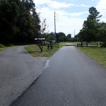
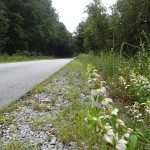
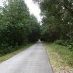
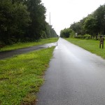
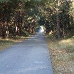
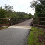
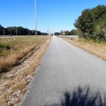
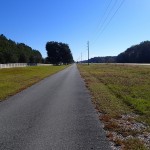
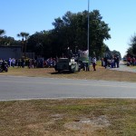
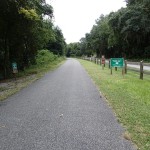
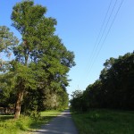
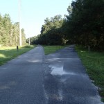
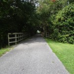
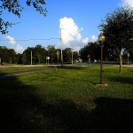
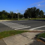
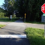
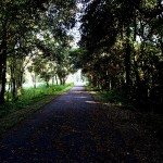
This is a fairly short trail. There is a lot to see and do along the trail – take your time and explore this lovely barrier island. The trail is flat and travels right through the heart of central Boca Grande. All in all, a fine ride.
Facilities:
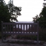
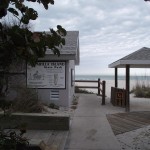
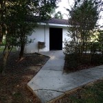
- There are facilities at the Gasparilla Island State Park Beach access located about 2/3rds the way down the trail.
The Cons:
- Just too short but, what can you do, you only have the length of Gasparilla Island to work with. 🙂
- The golf carts that everyone uses around the island can be a hindrance at times.
The Pros:
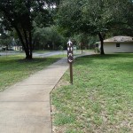
- The trailbed is in excellent shape.
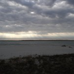
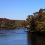
- The beautiful Gulf of Mexico beaches.
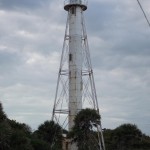
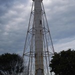
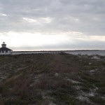
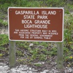
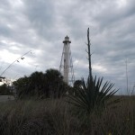
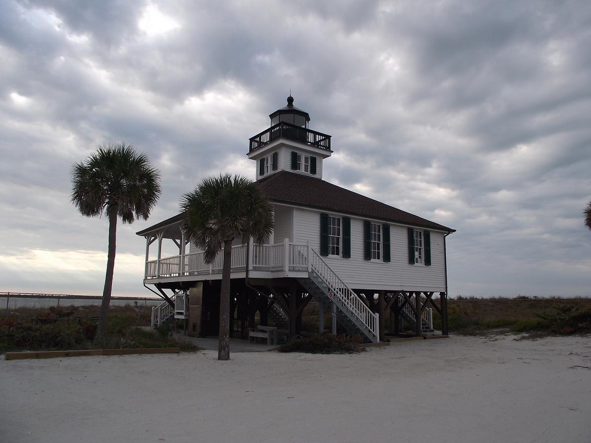
- Gasparilla Rear Range Light
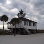
- Port Boca Grande Light.
- Boca Grande Fishing Pier
Links:
Boca Grande Chamber of Commerce
Send me an email. I would love to hear from you!
Happy Trails ~ John